The Doesburg
defensive lines
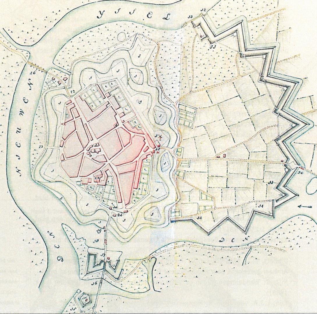
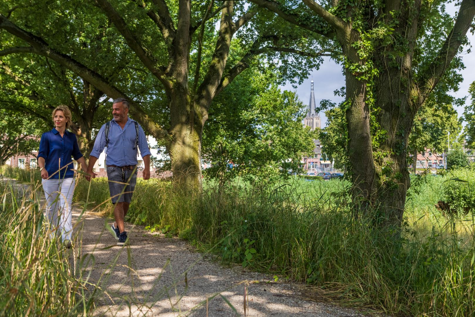
The historical centre of Doesburg is surrounded by the High and Low Defensive Lines, which are amongst the best preserved defences in the Netherlands. They were built around 1700 by the military engineer Menno van Coehoorn at the behest of Prince Willem III. The construction work took 30 years to complete but in the end the lines were never used. The 30-hectare area is now a unique combination of nature and culture and a great place for a leisurely and interesting walk. The paths actually link the city centre to the surrounding countryside.
Low Defence Line
The Low Defence Line lies to the south of the city, only a short walk from the town centre. The ground in front of this defence line consists of marshy land and a blind arm of the Oude IJssel. The Low Defence Line itself consists of a series of simple, sloping embankments and an open field of fire. These are surrounded by fabulous wetlands and rich fields of reed. You can walk the unpaved path across the Low Defence Line by starting at the Turfhaven or Kraakselaan road.
High Defence Line
The High Defence Line lies in open country to the east of Doesburg. This part of the defence lines consists of ramparts, dry ditches, trenches, batteries, embankments, open fields of fire and a so-called terreplein (the flat ground between the defence lines and the city). As the name implies, the High Defence Line is higher and more heavily fortified than the Low Defence Line. This is because it was meant to protect what was regarded as Doesburg's more vulnerable side. In the past the High Defence Line also featured firing ranges complete with lookout towers and stop butts that are now an intrinsic part of the history of the Doesburg fortifications. The closure of the area to the public resulted in the creation of a wonderful natural environment where tours are organised a few times each year. For more information contact Streekmuseum De Roode Tooren in Doesburg.